Underwater Topographic Imaging
Bathymetric surveying, or fathometric surveys, map underwater terrain. Timbercraft Consultation owns a custom-built drone designed for underwater use.
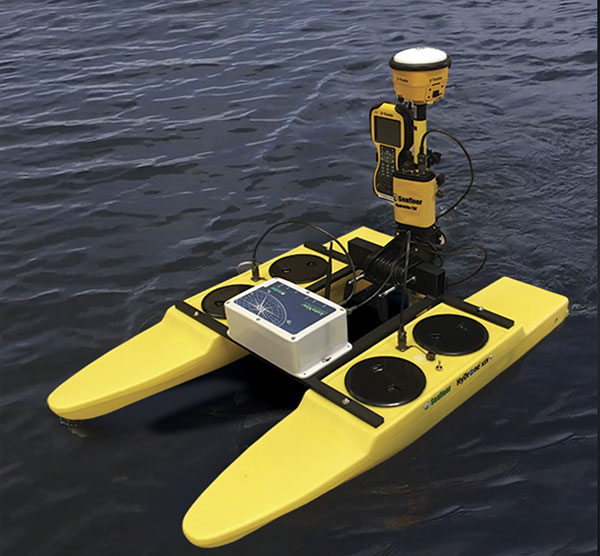
Pictured on this page, our custom-built RTK drone is sent out on floats to map underwater topography using a series of sonar pulses.
Bathymetric Surveying to Map Tailing Pond Capacity
Bathymetric surveying is frequently used to test the capacity of tailing ponds at mines, to check its useful life and calculate the volume of tailings in the containment area. We offer additional surveying and mapping services in the mining sector also.
Survey Water Management Ponds
We are also able to survey catchment ponds on the sides of a roadway or highway corridor, in addition to our other construction and engineering related services.